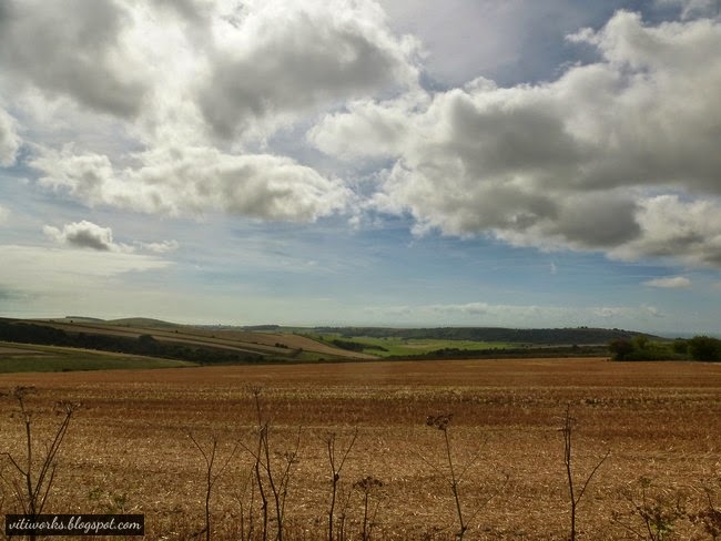
Unfortunately the weather was cloudy and rainy as I went, but it didn´t stop us breaking up with the dog for a three days walk with two nights of wild camping :)
John (US) - Sussex Drinking Song
| Source: http://www.contours.co.uk/walking-holidays/south-downs-way.php |
St. Mary´s Parish Church, Washington , has a water tap on the church yard.
In the evening of the second day we arrived Chanctonbury Ring, where we put up the tent for the night. On Wikipedia I read that "The Ring is also rumoured to increase fertility in women who sleep underneath the trees for one night." Good I am too old for that ;)


We went on The Monarch´s Way down to Findon where we took the bus to Worthing train station.


http://www.youtube.com/watch?v=4HvCRM2xjjY&feature=youtu.be Here are some good old English folk songs.
ReplyDelete